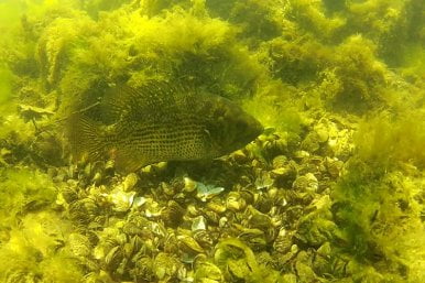
Harbor Habitat Maps identify the diversity and location of existing fish foraging and spawning habitat in order to facilitate future projects that improve the overall ecosystem. Following the success of the project in other Wisconsin ports, the project will expand to Kenosha, Racine, Kewaunee, and Algoma to better understand species distribution throughout Lake Michigan. Maps will be shared with government agencies and municipalities, as well as printed and shared with community stakeholders.
